As-Built Floor Plans
Dimensioned plans from LiDAR scan data for lease and facilities use.
View service detailsAccurate facility floor plans and building records for lease planning, tenant improvements, maintenance coordination, and capital projects. Our building measurement service delivers scan-based plans your whole team can rely on.
Managing a building or portfolio without reliable floor plans means every lease negotiation, tenant improvement project, or capital planning decision starts from guesswork. Outdated drawings — or no drawings at all — create friction at every stage: tenants asking for usable square footage, contractors bidding TI work without accurate dimensions, facilities staff unable to locate mechanical runs or structural elements.
Our building measurement service replaces those gaps with LiDAR-based floor plans that reflect conditions as they actually exist today. Whether your building has been modified over decades or you're simply missing the originals, we capture what's there and deliver professionally drafted plans within 1–2 days for most projects.
The result is a reliable documentation baseline that property teams can reference for years — one consistent set of plans that travels across lease renewals, capital projects, and facilities decisions without needing to be re-measured from scratch each time.
Traditional field measuring requires a technician to visit the building, pull dimensions room by room, sketch conditions by hand, and return to the office to draft from those notes. That process misses details, introduces transcription errors, and requires return trips whenever something was overlooked. For a busy commercial building, it's slow and unreliable.
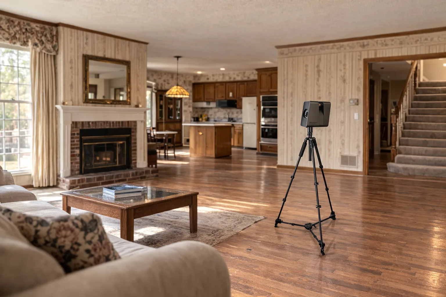
GRAB uses a Matterport Pro3 LiDAR scanner to capture complete building geometry in a single site visit — typically 1–2 hours for most commercial buildings. Our drafting team then converts that scan data into dimensioned floor plans ready for professional use. Wall thicknesses, opening locations, room dimensions, ceiling heights, and structural details are all derived from the scan, not from what someone wrote down on a notepad.
Deliverables are available in Autodesk AutoCAD DWG, Autodesk Revit RVT, SketchUp SKP, and PDF formats — whatever fits your internal workflow or your tenants' design team requirements.
Most projects deliver in 1–2 days. Larger buildings may take up to 5 depending on size and deliverables. Rush delivery available — mention your deadline in the quote request.
Property managers overseeing multiple buildings benefit from a consistent documentation standard across the portfolio. When every building in your inventory has scan-based floor plans in the same format, tenant improvement planning, capital project comparisons, and facilities coordination all become more efficient.
We can schedule batch scanning across multiple properties to keep travel efficient and costs predictable. Whether you manage two buildings or twenty, a single documentation partner with a consistent process is easier to work with than a different vendor for each property.
For buildings that already have plans but you're not sure how current they are, a LiDAR scan is the fastest way to verify — or replace — existing documentation. We often find that older drawings are missing additions, tenant improvements, or structural changes that have accumulated over years. The scan captures what's there now.
Most property teams need accurate floor plans for lease negotiations, tenant improvement planning, maintenance coordination, and capital project budgeting. We deliver dimensioned plans in Autodesk AutoCAD, Autodesk Revit, SketchUp, or PDF — whatever format fits your workflow or your tenants' design teams.
We scan your building using a Matterport Pro3 LiDAR system during a single site visit — typically 1–2 hours for most commercial buildings. Our drafting team then produces dimensioned floor plans from the scan data within 1–2 days for most projects, up to 5 for larger buildings.
Yes. We coordinate scanning across multiple properties and deliver consistent documentation for each building. Portfolio clients often schedule scans in batches to minimize travel time and overall cost.
That's one of the most common reasons property managers contact us. LiDAR captures what's actually there — not what was originally planned. If decades of tenant improvements and modifications have changed the building, the scan reflects current conditions accurately.
Dimensioned plans from LiDAR scan data for lease and facilities use.
View service detailsComplete documentation packages for renovation and capital project planning.
View service detailsExisting conditions documentation before tenant improvement design begins.
View industry details