LiDAR Building Scanning
Capture once, then use the point cloud across downstream deliverables.
View this serviceOur drafting team converts your LiDAR point cloud into clean Autodesk AutoCAD, Autodesk Revit, or SketchUp models — ready for real design and construction work. Small jobs back in 1–2 days.
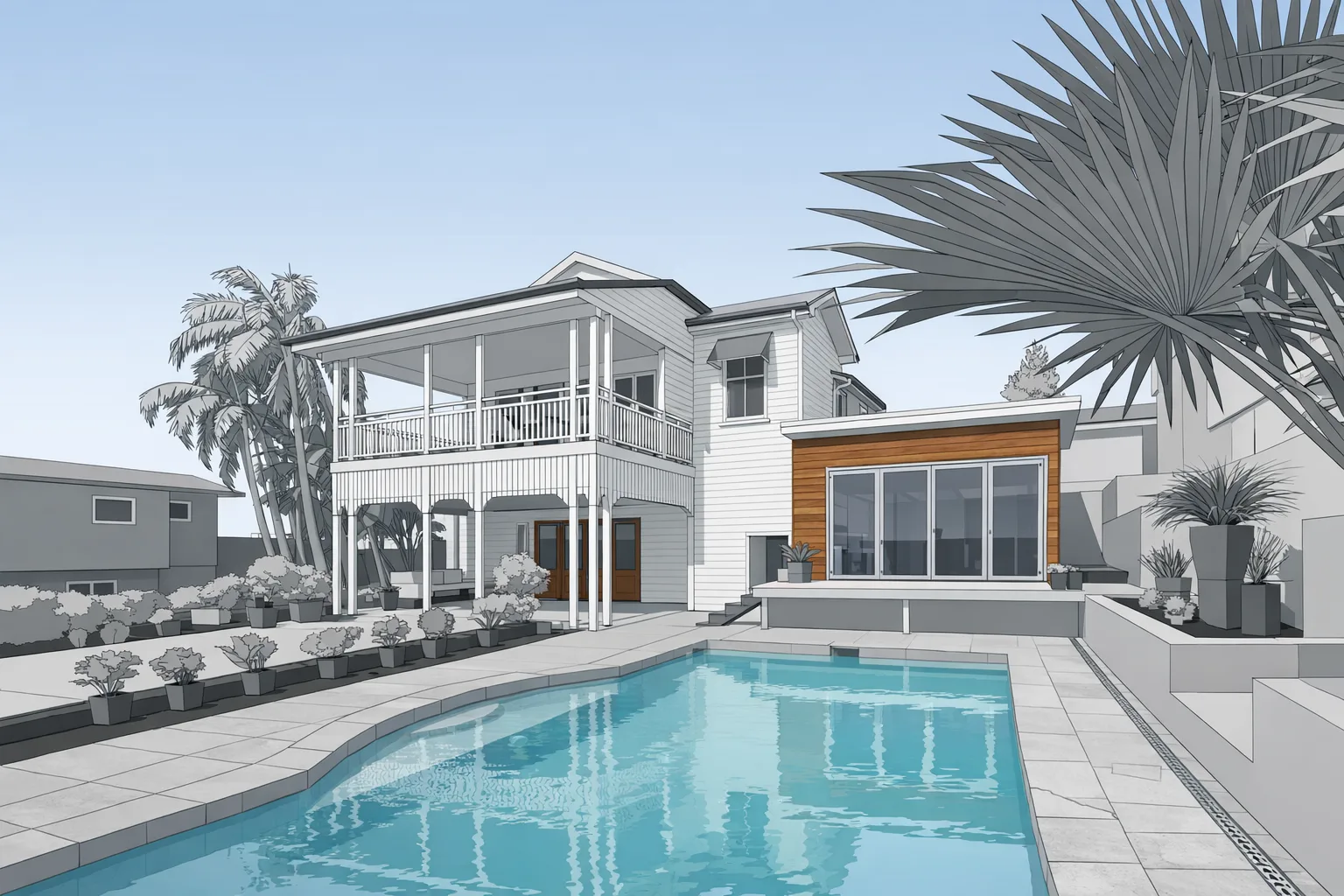
Capturing a building is only part of the workflow. Scan-to-CAD modeling takes the point cloud and translates it into organized files that architects, contractors, and consultants can actually use in active projects.
Our drafting team interprets the geometry into drafting and modeling environments so your team doesn't start from raw scan data alone. If the project needs editable backgrounds for design development, permit work, or coordination, this is where the scan becomes more valuable.
We focus on clean deliverables, not overloaded files. The goal is to create models and drawings that are practical for real production use, not just technically complete.
For existing-building work in Grand Rapids and West Michigan, scan-to-CAD reduces setup time, limits rework, and gives project teams a stronger starting point when deadlines are tight.
For teams working in Autodesk Revit, we convert point cloud data directly into Revit RVT models — a scan-to-BIM workflow that gives architects and engineers a parametric 3D model of the existing building rather than just 2D drawings. Point cloud to Revit delivery is available for projects where BIM coordination is required. See our scan-to-BIM service page for details on LOD levels and what's included.
Capture once, then use the point cloud across downstream deliverables.
View this serviceProduce dimensioned plan sets from the same field dataset.
View this serviceExpand scan data into broader renovation and documentation packages.
View this servicePoint cloud to Autodesk Revit — parametric 3D BIM model for architects and engineers.
View this service